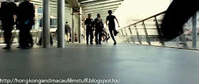
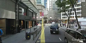
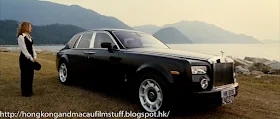
The car race back to HK Island takes in a fair amount of territory, some of it makes sense, some of it doesn't. I've included them all in one post because I don't think many of them are worthy of a single post.
Of course, we have just left Sunny Bay and are now racing along the Lantau Link back towards Kowloon and Hong Kong, so it's no surprise to see that the Tsing Ma Bridge makes a brief appearance. Well actually, the top picture shows the lesser known Kap Shui Mun bridge which spans the gap between Ma Wan and Lantau Island. You can tell the difference by the fewer number of crossbars across the uprights.
Coincidentally, just a few days ago the Kap Shui Mun bridge was struck by an illegally travelling Chinese registered ship that was too high to make it under the span. The top of the ship hit the underside of the span and caused a rather unprecedented shutdown of the only road and rail link in and out of the airport. The place was crippled for several hours and it almost reminded me of being back in the UK for a moment when a small amount of snow falls on the roads, or the wrong kind of leaf falls on a railway track.
Anyway, it seems the bridge is fine but the news that came out of it (news for me at least) is that there is currently an undersea tunnel being constructed from Tuen Mun to Lantau - no doubt it is being created for the purpose of linking up with the HK-Macau-Zhuhai bridge under construction, but the added benefit being that things won't grind to a halt if some crazy dude decides top crash his boat into one of the bridges.
Moving on and all of a sudden we see a brief shot of Sai Ying Pun implying the car is now racing along this part of HK Island. I guess he must've taken the Western Harbour Tunnel because that small funny looking blue building in the bottom of the screen grab is in fact one of the ventilation buildings for said tunnel. Here is where Google's new 3D view of HK can be useful, because I have been able to match the angle. The quality of the rendering in Google is pretty good.
The new development you can see at the bottom of the Google 3D view is the Sun Yat Sen memorial Park which opened in 2010 - a couple of years after filming.
Next up is where the geography goes a bit awry and we see Largo's car speeding eastwards along Gloucester Road in Wanchai. You can see the brown curved facade of the Luk Kwok Hotel on the left.
Just when you thought things were getting confusing, we then get another aerial view, this time of the Canal Road flyover back in Causeway Bay at the other end of Wanchai. Again, the Google 3D allows a fairly good recreation of the camera angle for no useful reason other than because I like doing it.


