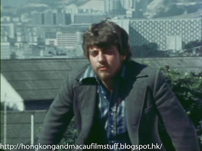
Long before democracy protesters were hanging banners from it, Grant Page thought it would be a good idea to free climb up the southern facing sheer face, then after having a quick break, throwing himself off the top again.
After his dry run on the neighbouring
reservoir, ensuring there were no kinks in the rope that would leave him dangling in mid-air, Page takes it a stage further and does the same thing off Lion Rock. These days it's reasonably easy (if a little effort intensive) to hike up to the top of the mountain via a well-trodden hiking path, but Page decides that a bit too easy and goes straight up the front - without any safety equipment or climbing aids and wearing only a pair of jeans and a woolly singlet! I'm sure most of my Australian friends would say that was standard all-weather gear for hard-nosed Aussie blokes.
I did ask stunt maestro, Vic Armstrong, if he had ever worked with Grant Page and he told me unfortunately not, but he considered Page to be one of the toughest and most fearless guys he had ever met. True praise indeed coming from one of the movie industry's top men.
Anyway, the view from the bottom of the sheer face is quite spectacular although, to be honest, despite the amount of high-rises these days, I do prefer the greener-looking Hong Kong of the current time. Kowloon looked a bit bleak and dull back in the 1970's - maybe the film needs remastering?
The following picture shows us what Lok Fu and Wong Tai Sin used to look like as well. The big swipe in the middle of the housing estates is today's Morse Park.
Finally at the top we get to look down towards the curved exit/entry ramps for the Lion Rock tunnel immediately below the rock. The curved ramps feed traffic on and off Lung Cheung Road. Actually, look closely and you can see a building with a small tower just above Page's left arm/wrist. This is the old TVB studios on Broadcast Drive - now replaced by a development called Peninsula Heights. The road heading off into the distance (top picture which is actually south) is the Kowloon Tong section of Waterloo Road.
Anyway, once Page has secured himself to his zip line, he proceeds to launch himself into the abyss with his trusty bit of old carpet as his brake.
We're left with a nice view to the west that takes in the ridge line along to Beacon Hill in the distance. Note that the track that runs along the ridge is actually now part of the famous
MacLehose Trail (stage 5 to be precise) mapped out by the Ghurkas in the late 1970's (it officially opened as a hiking trail in 1979).
If you look at the bottom of the second picture you can see the bare concrete surface of the reservoir where page did his test run featured in the previous post.


